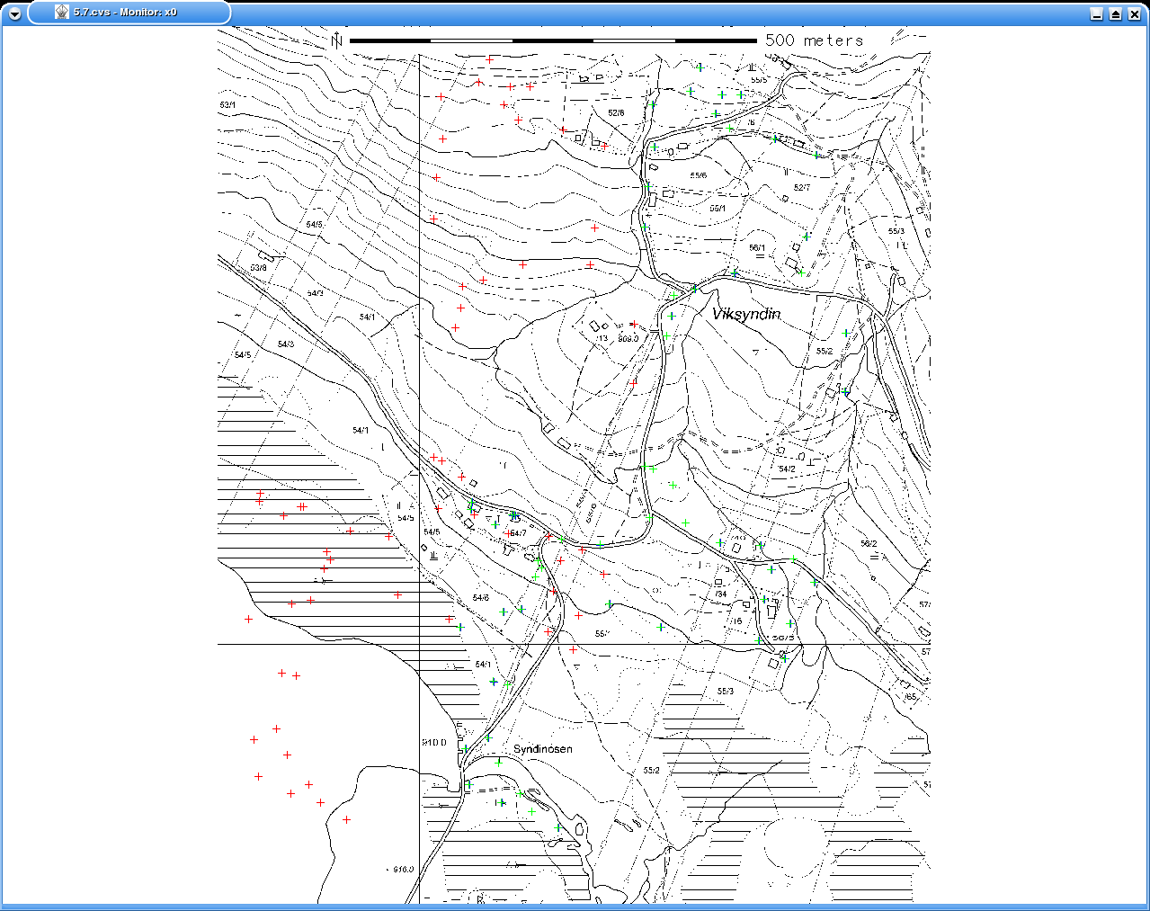
As referred to on the grass mailing list. The red points show the gps-points projected without any datum-information. The blue points (hardly visible underneath the green points) show the data projected with datum, but without dx,dy,dz. The green points show the points projected using all available information. The gps-tracks are from grazing cows. There is one point which is a bit dobious, in the lower half about in the middle, just below and to the left of the word 'Syndinosen' since it falls in the river, but is is just a few meters off and my experience is that the gps may occationally jump a few meters. Some of the other points very nicely follows roads as the cows often do.